align
Options: <path string>
Path to a GeoTIFF DEM or a LAS/LAZ point cloud that the reconstruction outputs should be automatically aligned to. Experimental. Default: None
See Multi-temporal datasets for further usage information.
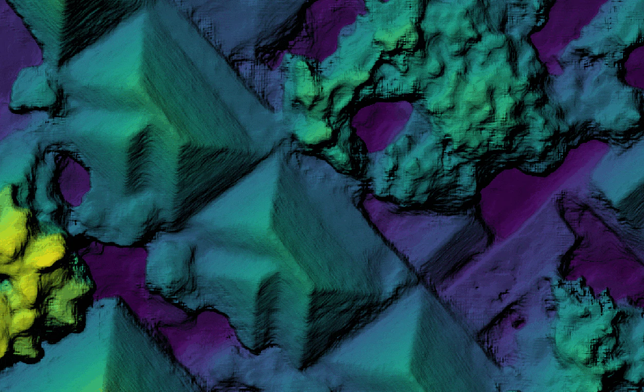
Animated gif comparing two separately processed, but aligned digital surface models.
Learn to edit and help improve this page!